
4 – 8 May 2015, Cachoeira Paulista
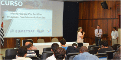
The Center of Weather Forecast and Climate Studies (CPTEC) in Brazil recently hosted a training course on Satellite Meteorology. The course was intended to familiarise a wide audience of professionals in geo-sciences with forecasting based on satellite images, rain climatology and future developments.
More than 30 participants attended from Africa, Brazil, Colombia, Uruguay, Peru and Paraguay. EUMETSAT presented applications of SEVIRI imagery with emphasis on RGB composites and its use over South America and South Atlantic Ocean.
CPTEC is one of the 13 WMO Centers of Excellence in Training on Satellite Meteorology (Vlab). CPTEC has developed the capability to receive process and produce several satellite products using Meteosat data. Meteosat satellites are very useful because they for cover the whole of Brazil and other South American countries, and also due to their higher spectral and radiometric resolution.