
20 to 24 March 2017 / Krakow, Poland
The special characteristics and application possibilities of satellite-based climate data records were the subject of a workshop hosted by the Polish National Meteorological Service in Krakow.
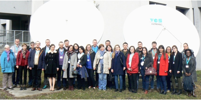
Out of more than 80 applicants, 23 participants, from predominantly Eastern European countries, were invited to Krakow. The planning and running of this workshop was strongly supported by the CM SAF.
During an online phase participants studied the tasks and data records of the CM SAF and discussed questions with their course mates and the teachers. The online phase also provided support with installing software required for the classroom workshop.
The focus of the workshop was on the use of CM SAF climate data records using the R-based CM SAF Toolbox and the geo-information system QGIS. After an introduction to both software packages, the participants worked on self-selected projects, which were summarised in short presentations at the end of the workshop. They learned about the characteristics of the CM SAF climate data and the handling of the data format with different software. The workshop was also very instructive for EUMETSAT and the CM SAF team, as both strengths and possibilities of improvements regarding data and software were identified.